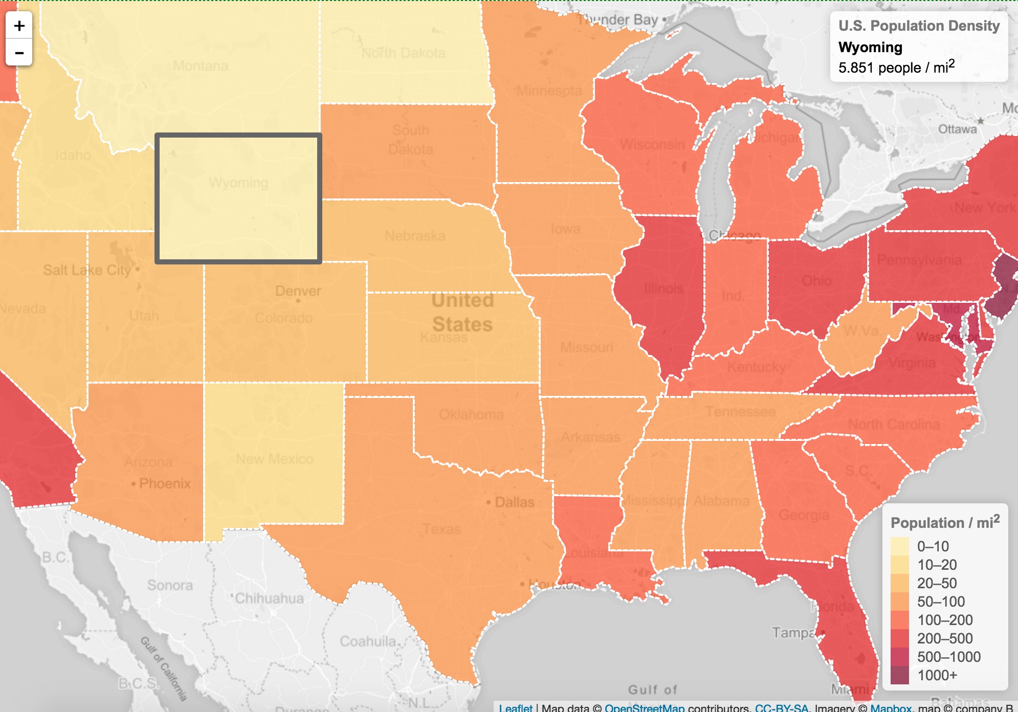
Leaflet: A Kinder, Simpler Web Mapping API
"Leaflet is simply the best option for working with the display of points,
symbols, and all types of features on web and mobile devices" (Pepple, 2015)
Technology at a Glance
- Leaflet is a simply-designed and fully-featured web mapping API. It is more lightweight and easier to use than the comparable Google Maps or Open Layers API, is freely available for use in web pages, and speaks GeoJSON.
- "Like other web map libraries, the basic display model implemented by Leaflet consists of a basemap plus one or more translucent overlays, with vector objects displayed on top." (Wikipedia)
- Leaflet maps are tile-layer agnostic, so now your map library API can be different than your tile library API, opening up flexibility for mapmakers to use OSM, Google, Bing, or even Esri base layers.
- Leaflet is also extensible, so you can use plugins that can help you develop xtra features. For example, for GeoJSON point data with elevation (z) values, you could create an elevation profile to accompany a hiking or mountain biking map using the free leaflet.elevation plugin.
