GeoJSON: The New Universal Dialect for Geographic Data Transport
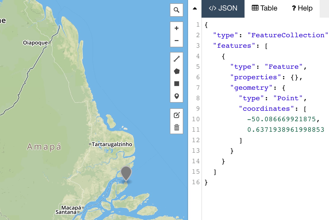
"In GeoJSON, a vector feature and its attributes are represented as a JavaScript object,
allowing for easy parsing of the geometry and fields." (Newton, 2014)
Technology at a Glance
- GeoJSON is a format for encoding a variety of geographic data structures. GeoJSON is a flavour of JSON which is a subset of the JavaScript language known as JavaScript Object Notation. JavaScript objects are just simple collections of name/value pairs.
- A GeoJSON file contains all the geometric information required to draw geographic data. It also contains any data attributes, making it a vehicle as flexible as the proprietary Esri shapefile, which remains the most common format for geographic data.
- But GeoJSON does shapefiles one better; It is a universal dialect that all JS Web Mapping tools know how to speak, and because it is already in JavaScript form, it is easy to parse and use the data to produce compelling online maps.
- Other open source tools take the pain away from converting data from and 2 different formats. Use the ogr2ogr data conversion tool to convert data to and from many common formats: ex: convert .shp to GeoJSON, and .GPX GPS file or Google Earth KML to GeoJSON,
