A Brief History of Web Mapping


"Making awesome maps has long been a game for the elite.
Google Maps changed many of those rules, and D3 has broken all the rest." (Stockton, 2013)
Web Mapping History at a Glance
The short history of Web GIS can be characterized as a prolonged period of intense innovation
punctuated by a few watershed events.
- 1993: Xerox Palo Alto Research Center (PARC) Map Viewer becomes the first web map.
- 1996: MapQuest becomes the first consumer-facing web mapping service.
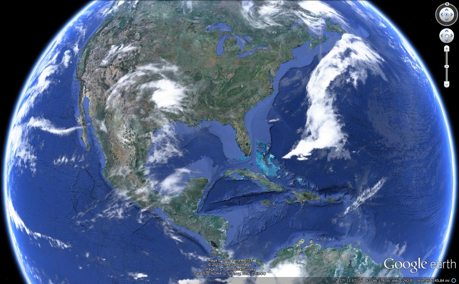
- 2005: Google Maps / Google Earth launch changes the web mapping game - first slippy map interface using Asynchronous JavaScript and XML (AJAX) technology
- late-2000s: Google, Esri offer JavaScript Application Programming Interfaces (API)s for web mapping, open source web GIS hits its stride with mature web offerings. (OpenLayers, GeoServer)
- 2012: Google Maps begins charging for data, spurring companies and developers to search for alternatives. This results in the rise of Open Street Map and the Mapbox open source web mapping platform.
- mid-2010s: New JavaScript libraries and tools aid web mapping and web GIS.
(MapBox: 2010, Leaflet: 2011, D3: 2011, TopoJSON: 2013, Turf: 2014)